Integrated WebGIS platform for disaster risk management in Gia Lai province, Vietnam
Solutions Brief
The ‘Solutions’ series shares practical and replicable local knowledge through our work across Vietnam on how to build resilience to climate hazards.
Summary
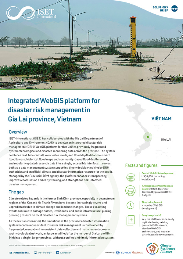
ISET-International (ISET) has collaborated with the Gia Lai Department of Agriculture and Environment (DAE) to develop an integrated disaster risk management (DRM) WebGIS platform for that unifies previously fragmented hydrometeorological and disaster-monitoring data across the province. The system combines real-time rainfall, river water levels, and flood depth data from smart flood towers; historical flood maps and community-based flood depth records; and regularly updated reservoir data into a single, accessible interface. It serves both as a data management system supporting timely decision-making by DRM authorities and an official climate and disaster information resource for the public. Managed by the Provincial DRM agency, the platform enhances transparency, improves coordination and early warning, and strengthens risk-informed disaster management.
Funded by: The Z Zurich Foundation
The Zurich Climate Resilience Alliance is a multi-sectoral partnership focused on enhancing resilience to climate hazards in both rural and urban communities.